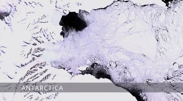
A Planetary Perspective: With Landsat and Google Earth Engine

Since July 1972, NASA’s Landsat satellites have gathered images over the entire land surface of the Earth, creating the most complete record ever assembled. These images, archived at USGS, reveal dynamic changes over time due to human activity (deforestation, urbanization) and natural processes (volcanic eruptions, wildfire). Now, Google Earth Engine allows scientists, researchers and the public to easily view and analyze this treasure trove of planetary data. http://earthengine.google.org.
 Follow